General
K2 Expedition 2025-26 (Karakoram)
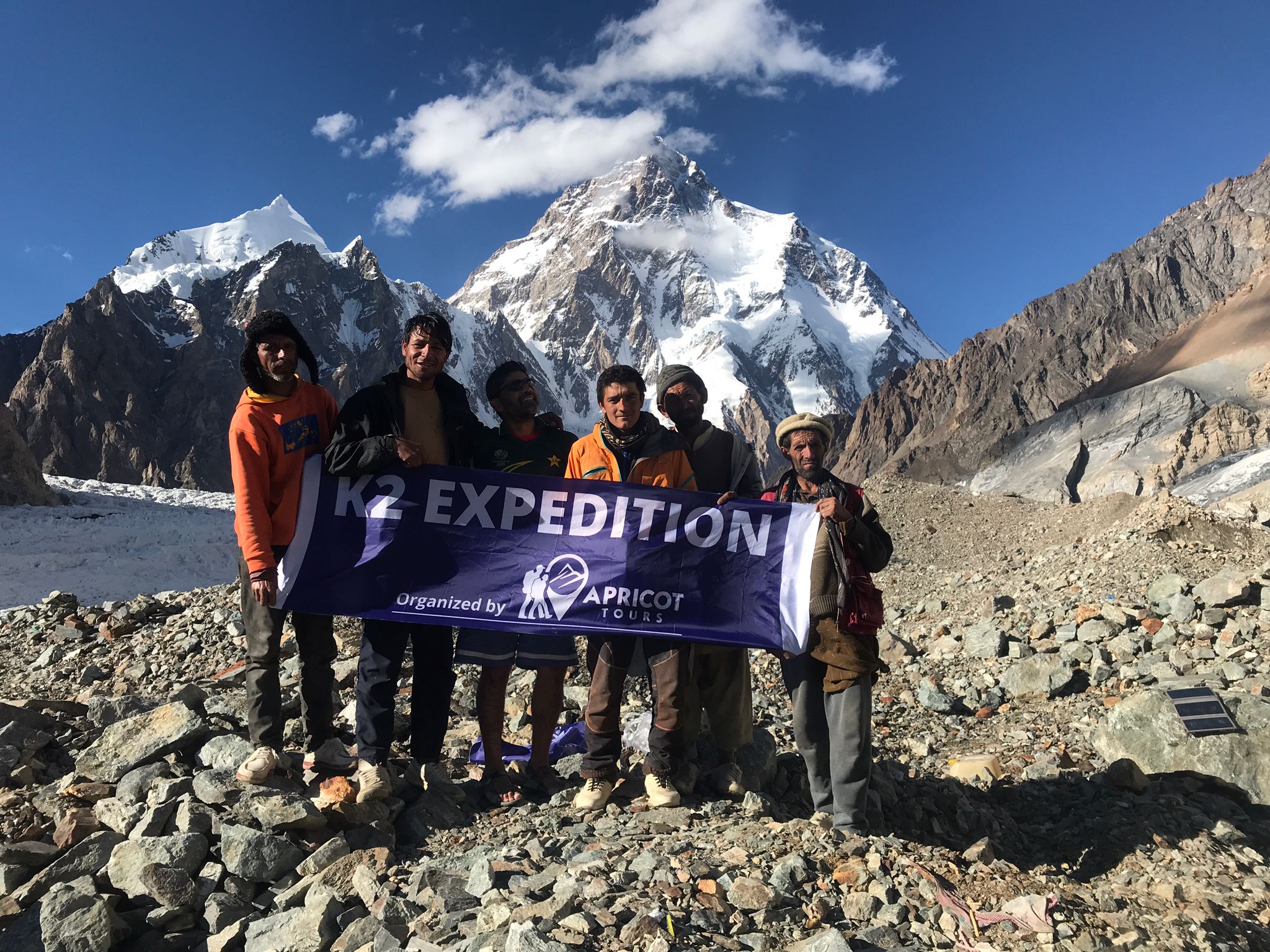
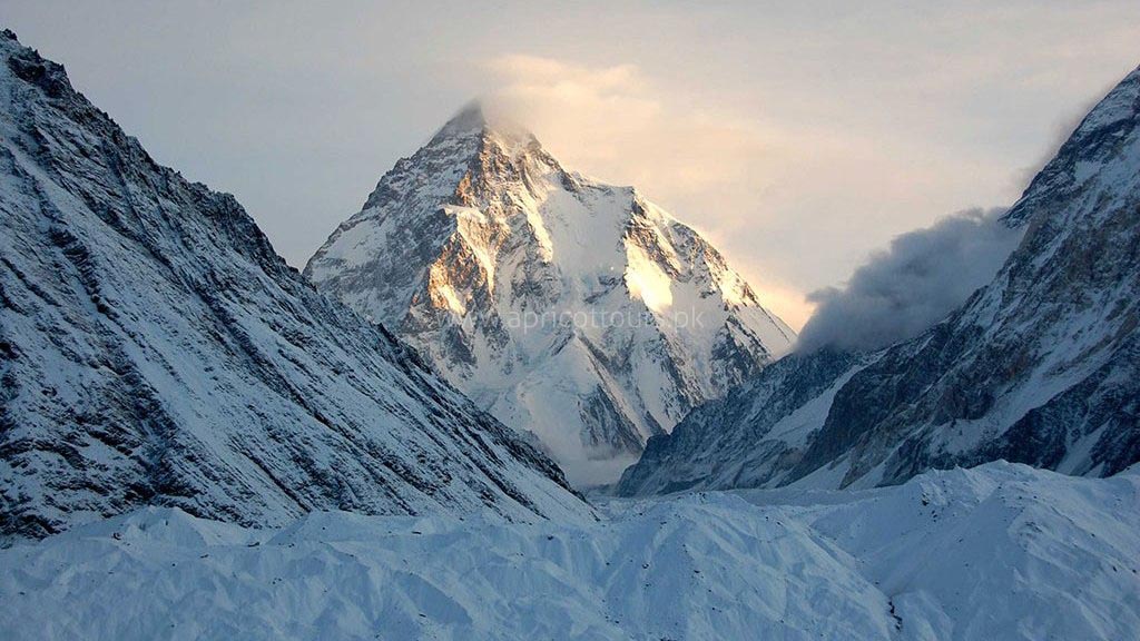
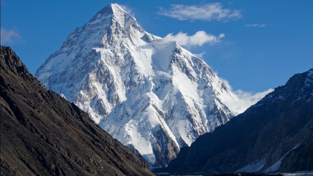
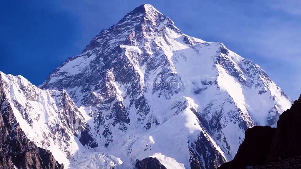
K2 Expedition registration is now open. Climbing K2 is considered one of the top mountaineering expeditions in the world. The mighty K2 is every tough mountaineer’s dream. We are offering K2 Expedition departures (guided and non-guided) for mountaineers and alpinists from around the world.
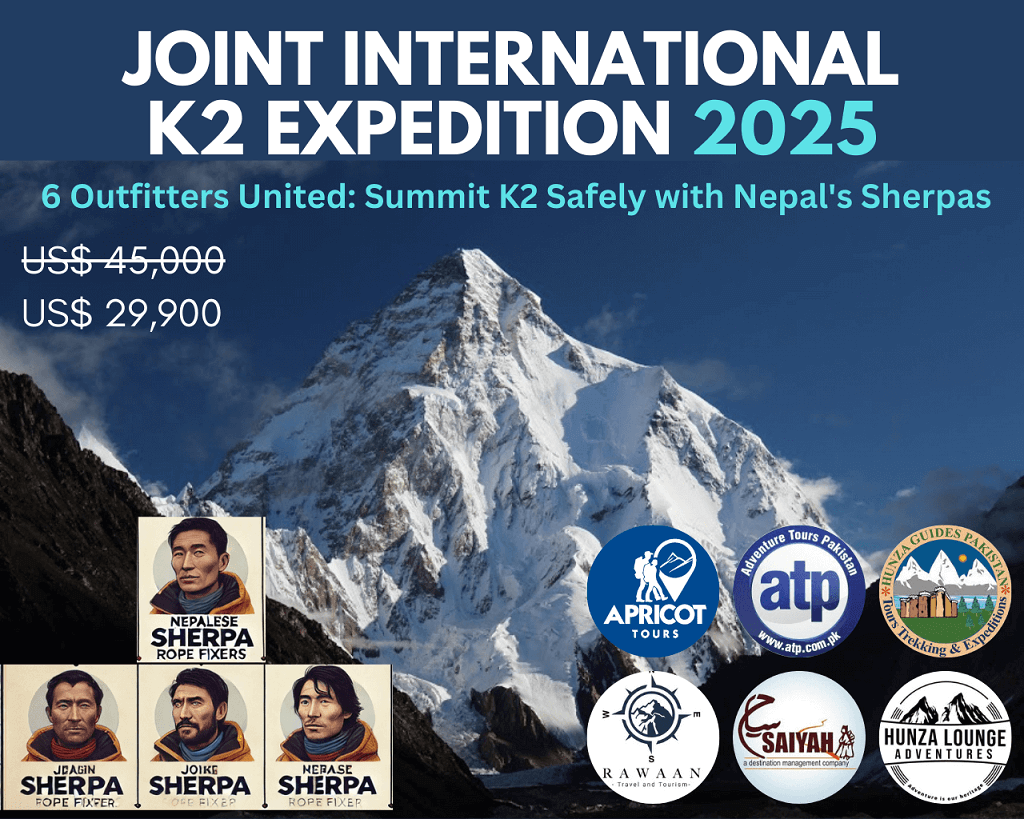
Including our K2 Expedition, we offer 7,000 to 8,000m expeditions and the following 8,000m plus expeditions given in the table below.
| Eight-thousander Peaks of Pakistan | Base Camp Service | Full-board Service | Minimum required to Guarantee |
| Joint K2 Expedition 2025 (60 days) | 12490 | 29900 | 7 participants |
| K2 Base Camp Trek (20 days) - ALL INCLUSIVE | - | 2090 | - |
| Nanga Parbat Expedition (43 days) | 13825 | 34643 | 3 participants |
| Gasherbrum I Expedition (46 days) | 8604 | 19836 | 6 participants |
| Broad Peak Expedition (52 days) | 14887 | 29035 | 4 participants |
| Gasherbrum II Expedition (46 days) | 8604 | 19836 | 6 participants |
| Gasherbrum I & II Expedition (52 days) | 17204 | 31302 | 4 participants |
| Eight-thousander Peaks of Pakistan | Base Camp Service | Full-board Service | Minimum required to Guarantee |
K2 Expedition – Dates and Cost – USD 42,500 | 2025-26
| Start Date | End Date | Basecamp Services | Full Board Services | Deposit (Full board) | Minimum required to Guarantee | Register |
|---|---|---|---|---|---|---|
| Summer | ||||||
| 19-Jun-2025 | 17-Aug-2025 | 12490 | 29900 | 15000 | 7 participants | BOOK NOW |
| 19-Jun-2026 | 17-Aug-2026 | 12490 | 29900 | 15000 | 7 participants | BOOK NOW |
| Winter | ||||||
| 29-Dec-2025 | 18-Feb-2025 | 18900 | 39900 | 20000 | 5 participants | BOOK NOW |
| 29-Dec-2026 | 18-Feb-2026 | 18900 | 39900 | 20000 | 5 participants | BOOK NOW |
| Start Date | End Date | Basecamp Services | Full Board Services | Deposit (Full board) | Minimum required to Guarantee | Register |
Website Last Updated: October 29th, 2024
K2 Expedition – Holiday Information
What's Included in Full Guided Service?
*inclusions are given below
- High Altitude Climbing Leader/Sherpa hired from Nepal (request for details)
- Rope fixing team of Sherpas hired from Nepal (request for details) according to the composition below.
No of Participants Leader Sherpas 7 pax 1 3 8-13 pax 1 4 14 - 18 pax 1 5 - Lodging above base camp
- Group climbing gear/equipment (tent, rope, ice crew, snow-bar, EPI gas, cooking pots, stoves, gas, etc)
- Meals above base camp during climb ((high altitude food/snacks)
- Government Royalty Fee (revised in Sep 2024) based on the seasonal rates outlined below.
Climbing Season Royalty Fee (USD) per person for K2 Government Notification Spring/Summer (April - September) USD 5,000 View Document Autumn (October - November) USD 2,500 Winter (December - March) USD 1,500 - All meals during trek to base camp and at base-camp (B,L,D)
- Four (4) nights stay in Islamabad hotel on arrival and two on return (bed & breakfast only)
- Lodging at base camp (single supplement)
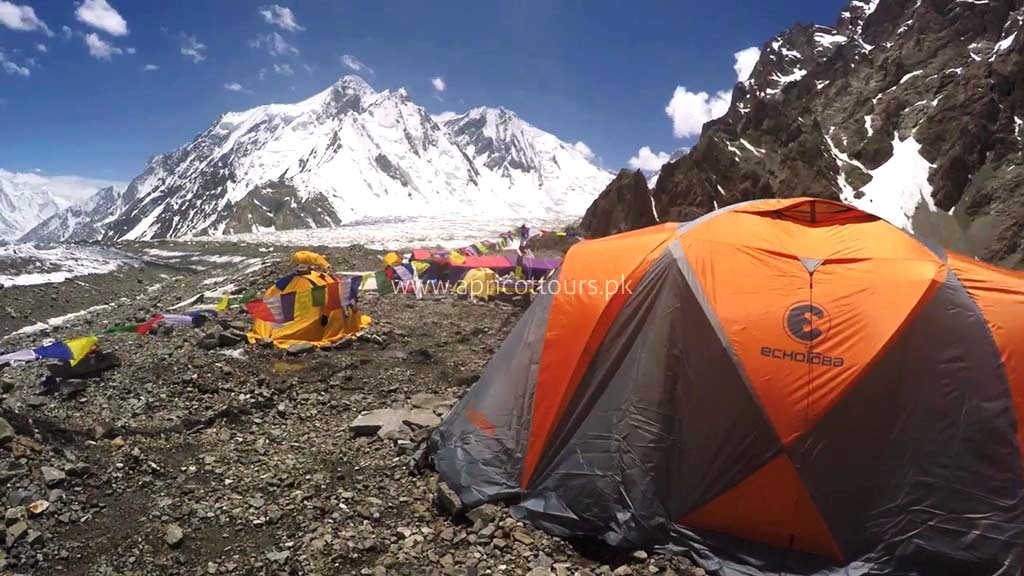
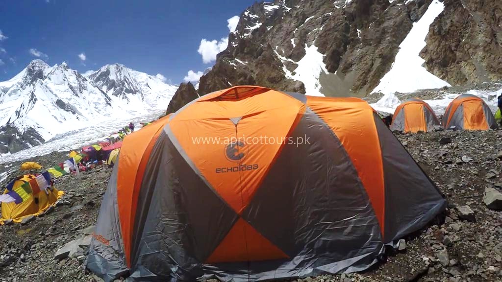
- Full base camp with dinning tent, bathroom, showers & solar charge
- All internal/domestic transport
- All domestic flights
- 65kgs (110 lbs) personal baggage
- Liason officer(s) - equipment fee and allowance
- Group emergency equipment/satellite phone service with fixed calling charge
- Staff insurance (guide, cook, kitchen staff, assistant(s) & porters etc)
- Experienced cook from Pakistan
- Kitchen staff
- Porters for all expedition supplies
- Solar power at base camp
- Electricity generator (backup for high voltage devices)
- Communication radio (walkie talkie)
- Weather reports from European sources
- Hot Water at base camp
- Free Wi-FI at base camp (subject to local network reception)
What's Included in Base Camp Service?
*crossed out items below are not included in Base Camp service.
High Altitude Climbing Leader/Sherpa hired from Nepal (request for details)Rope fixing team of three Sherpas hired from Nepal (request for details)Lodging above base campGroup climbing gear/equipment (tent, rope, ice crew, snow-bar, EPI gas, cooking pots, stoves, gas, etc)Meals above base camp during climb ((high altitude food/snacks)- Government Royalty Fee (revised in Sep 2024) based on the seasonal rates outlined below.
Climbing Season Royalty Fee (USD) per person for K2 Government Notification Spring/Summer (April - September) USD 5,000 View Document Autumn (October - November) USD 2,500 Winter (December - March) USD 1,500 - All meals during trek to base camp and at base-camp (B,L,D)
- Four (4) nights stay in Islamabad hotel on arrival and two on return (bed & breakfast only)
- Lodging at base camp (single supplement)
- Full base camp with dinning tent, bathroom, showers & solar charge
- All internal/domestic transport
- All domestic flights
- 65kgs (110 lbs) personal baggage
- Liason officer(s) - equipment fee and allowance
- Group emergency equipment/satellite phone service with fixed calling charge
- Staff insurance (guide, cook, kitchen staff, assistant(s) & porters etc)
- Experienced cook from Pakistan
- Kitchen staff
- Porters for all expedition supplies
- Solar power at base camp
- Electricity generator (backup for high voltage devices)
- Communication radio (walkie talkie)
- Weather reports from European sources
- Hot Water at base camp
- Free Wi-FI at base camp (subject to local network reception)
What's not Included in both Base Camp Service & Full-Guided Service?
- Personal climbing Sherpa - USD 12, 944 (includes wages, kit allowance, royalty fee, return flight fares from Nepal, meals in Pakistan, oxygen cyclinders & mask/regulator for climb, accommodation, etc)
- Supplemental Oxygen for climbers (4 cylinders recommended) - Prices given below.
Oxygen Cylinders/Bottles Brand New Used/Old 1 Large 4litres Russian 990 650 2 Large 4litres Russian 1980 1300 3 Large 4litres Russian 2790 1950 4 Large 4litres Russian 3960 2600 5 Large 4litres Russian 4950 3250 6 Large 4litres Russian 5940 3900 - Oxygen set for climber - includes regulator, mask, hoses, carriage to high camps - USD 980
- Summit bonus for personal Sherpa of US$ 1500
- International airfare
- Personal climbing equipment for any 8,000m peak, clothing & sleeping equipment
- Mountain climbing rescue and evacuation insurance policy - mandatory
- Personal equipment cargo to/from Islamabad
- Pakistan visa fee
- Tips/gratuities to staff, cook, assistant(s) of US$ 490 in total
- Meals in Islamabad
- Extra hotel nights after the climb
- Trip cancellation insurance
- All expenses incurred in the event of early wind-up/summit (extra hotel nights, meals at hotels, evacuation)
- Charges incurred due to delays beyond the control of Apricot Tours (Force majeure)
- Personal communication (phone, fax, e-mail) between Pakistan and home country.
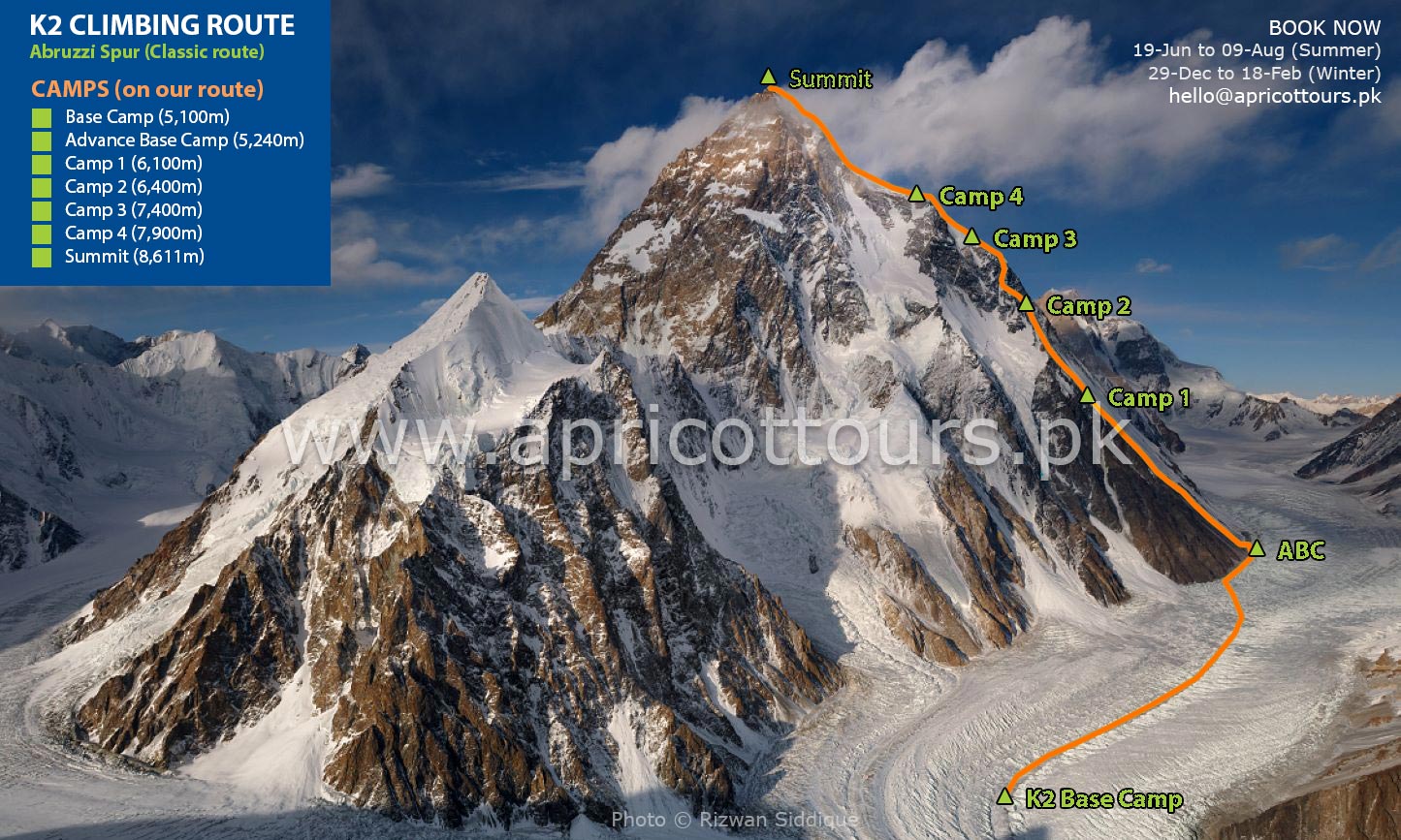
K2 Climbing Route – Joint K2 Expedition 2025
Highlights – K2 Expedition
- Very competitive prices for an eight thousander peak
- Field office and permanent staff for logistical arrangements to and from the mountain
- Itinerary based on our mountain guide's indigenous knowledge and vast experience
- Spectacular mountain vistas during the expedition
- Apricot Tours is a fully licensed native adventure company
- Fixed departures are normally guided by our Pakistani High Altitude Climber(s) (HAC)
- Private groups are always one of our top priorities
- We cater to both guided expeditions and non-guided (alpine style) climbing
- We cater to both "base camp services" and "full board services"
- Nepalese Sherpas available upon timely request (at least 6 months prior to arrival in Pakistan)
- The following High Altitude Support available at extra cost
a. Pakistani High Altitude Porter (HAP) - Will carry 20 kg of personal equipment between camps
b. Nepalese Private Sherpa (personal guide/porter) – Carries up to 20 kg (44lbs) of your personal equipment, climbs with you, melts water, cooks, and will be with you every step of the way.
c. Personal equipment carriage service – Sherpa carries up to 10kg (22lbs) of personal equipment up and down the mountain between camps
Itinerary
On this Day
GPS Data
Altitude: 540 m
Our guide(s) will receive you from the airport. Soon you will be transferred to hotels. On this day, our participants can relax and recover from their long journey.
Pickup information
It is very easy to spot our guide, holding orange placards with our company’s logo and your name on it. You must arrive at Islamabad International Airport, Islamabad. International flights normally arrive at midnight or in the afternoon. You must give us the details of your flights, both inbound and outbound at least five days prior to your arrival in Pakistan. Our staff/guide will receive you at the gates of international arrivals unless you are taking a connecting flight from another city of Pakistan. The guide/staff will transfer you to our partner hotel. In case you do not require airport transfer, please inform us in advance.
After lunch and some rest at the hotel (ideally if you are arriving in the morning between 9am to 12pm), our guide/representative will pickup all our guests around 6pm for briefing and remaining payments at our office followed by a dinner.
| Accommodation | Twin-sharing room at Chateau Royale (see pictures), Prestige Residence (see pictures) or equivalent standard partner hotel (depends on occupancy) in Islamabad. |
| Meals | Breakfast, lunch and dinner + tea/coffee and snacks |
On this Day
GPS Data
Altitude: 540 m
On this day we will have have briefing from the Department of Tourism regarding the K2 Expedition in Islamabad before travelling to Skardu.
After briefing we will spend time exploring Islamabad and we will have a taste of tradition Pakistani Food.
| Accommodation | Twin-sharing room at Chateau Royale (see pictures), Prestige Residence (see pictures) or equivalent standard partner hotel (depends on occupancy) in Islamabad. |
| Meals | Breakfast, lunch and dinner + tea/coffee and snacks |
On this Day
GPS Data
Altitude: 2,498 m
Participants on this morning will take the spectacular flight from Islamabad airport to Skardu airport. You will be able to see Nanga Parbat if clouds allow. After arrival in Skardu, the day is free. The participants can shop around and spend some time in peaceful valley. It will be a treat before going on to the K2 Expedition.
| Accommodation | Twin-sharing room at Concordia Motel (see pictures), Mountain Lodge (see pictures) or equivalent standard partner hotel (depends on occupancy) in Skardu. |
| Meals | Breakfast, lunch and dinner + tea/coffee and snacks |
On this Day
GPS Data
Altitude: 2,498 m
After breakfast, the participants will walk to Kharpocho fort in Skardu, which is located up on a mountain. The Kharpocho fort gives a splendid view of the Indus and Skardu town. The participants will also have an option to take a tour to Sadpara Lake followed by free shopping time in Skardu Bazaar.
During sightseeing, our staff will take care of further government documentation required in Skardu. This can sometimes take two days. We have contingency days towards the end of the trek incase of any delays.
| Accommodation | Twin-sharing room at Concordia Motel (see pictures), Mountain Lodge (see pictures) or equivalent standard partner hotel (depends on occupancy) in Skardu. |
| Meals | Breakfast, lunch and dinner + tea/coffee and snacks |
On this Day
GPS Data
Altitude: 3,015 m
On this day the K2 Expedition will officially kick off as we make our way to the Baltoro Region. The participants will begin the jeep safari towards Daso, the passage will go through the Shigar valley. The journey will be followed on the sides of Braldu river which extends to Askole. Askole will be the last village on our route; the participants will start walking after leaving jeeps behind. However at times the participants may begin their walk before arrival in Askole but it depends on the road conditions. Overall it will take you between six hours to eight hours in covering the distance.
| Accommodation | Camping in twin-sharing dome tent (see pictures) |
| Meals | Breakfast, lunch and dinner + snacks (dry fruit/chocolate) for trek, appetizer (soup/fried-snacks) before dinner and dessert/fruits after dinner |
On this Day
GPS Data
Altitude: 3,103 m
Distance: 20 km
Time: 5-8 hours
After completion of necessary supplies list and equipment the porters will load up for the trek ahead to Jhola. The valley is gateway to Biafo glacier that flow over fifty kms from Hispar La to Braldu. The participants will experience the moraine walking as the snout of the glacier is crossed and they will descend to lunch spot beside the Korofon river.
The route will take us the confluence of rivers of Braldu and Domordo. The former trail is not taken for the trek and instead a newer trail will lead us to go upstream where the participants will cross the river by bridge. On the other side of the bridge the participants will descend to the edge of Braldu river and will follow the river bank to reach the camp at Jhola.
| Accommodation | Camping in twin-sharing dome tent (see pictures) |
| Meals | Breakfast, lunch and dinner + snacks (dry fruit/chocolate) for trek, appetizer (soup/fried-snacks) before dinner and dessert/fruits after dinner |
On this Day
GPS Data
Altitude: 3,418 m
Distance: 19.8 km
Time: 6-7 hours
On this day of our K2 Expedition the participants will follow the Braldu gorge, along the bank of Braldu river. The participants will be able to view astonishing rocks of Trango Tower and Cathedral Peak. The participants should prevent themselves from possible sun burns and during this day as the walking conditions can be very dry and hot.
Several streams from glacier flow down into the valley and on the way the participants will have to use river crossing shoes depending on the water levels. The participants will be able to spot the snout of Baltoro Glacier on a clear day. On this day the participants will end their day by climbing away from the river to camp at Paiju, the last camp where you will see trees until for a while.
| Accommodation | Camping in twin-sharing dome tent (see pictures) |
| Meals | Breakfast, lunch and dinner + snacks (dry fruit/chocolate) for trek, appetizer (soup/fried-snacks) before dinner and dessert/fruits after dinner |
On this Day
GPS Data
Altitude: 3,418 m
The participants will spend the day at Paiju Camp for acclimatization and rest. However the porters will take their time to bake themselves bread for next week on the glacier. Acclimatization walk can also be taken towards Paiju Peak base camp on this day. This will be very helpful for the participants before the K2 Expedition as their bodies will acclimatize with the region.
| Accommodation | Camping in twin-sharing dome tent (see pictures) |
| Meals | Breakfast, lunch and dinner + snacks (dry fruit/chocolate) for trek, appetizer (soup/fried-snacks) before dinner and dessert/fruits after dinner |
On this Day
GPS Data
Altitude: 3,788 m
Distance: 14.7 km
Time: 5-7 hours
On this day of the K2 Expedition the walking will get tough however the scenery will become amazing with each step taken onto the snout of Baltoro Glacier. The trail has continuous up and down climbs on the glacial moraine, although the trail is quite safe but it is highly recommended to be careful at all times. The participants will experience the stunning views as they move ahead; the views of Trango Tower and Uli Biaho. The participants are required to go across the glacier to Liligo. From this point the participants will follow a rocky trail which is along the edge of the Baltoro or sometimes to Khoburtse, the side of the glacier where camp will be made.
| Accommodation | Camping in twin-sharing dome tent (see pictures) |
| Meals | Breakfast, lunch and dinner + snacks (dry fruit/chocolate) for trek, appetizer (soup/fried-snacks) before dinner and dessert/fruits after dinner |
On this Day
GPS Data
Altitude: 3,905 m
Distance: 6.4 km
Time: 4-6 hours
On this day of the K2 Expedition Trango Towers can be eventually seen after coming across two small glaciers. For the following night the participants will make their stop at Urdukas near the army camp. The camp is 100m above the glacier.
| Accommodation | Camping in twin-sharing dome tent (see pictures) |
| Meals | Breakfast, lunch and dinner + snacks (dry fruit/chocolate) for trek, appetizer (soup/fried-snacks) before dinner and dessert/fruits after dinner |
On this Day
GPS Data
Altitude: 4,285 m
Distance: 11.9 km
Time: 6-8 hours
On this day of K2 Expedition, the participants will be walking in the middle of the glacier. The medial moraine will be followed, to the south we will get the views of Masherbrum (7821m). The participants will be climbing up and down on the rocky moraine and as the participants move ahead they will walk pass massive ice seracs.
This will be the first night stay camp on Baltoro Glacier at Goro II, it is the confluence of Baltoro Glacier and Younghusband. The temperature may drop dramatically. Masherbrum and Muztagh Tower will be uncovered for the sight.
| Accommodation | Camping in twin-sharing dome tent (see pictures) |
| Meals | Breakfast, lunch and dinner + snacks (dry fruit/chocolate) for trek, appetizer (soup/fried-snacks) before dinner and dessert/fruits after dinner |
On this Day
GPS Data
Altitude: 4,512 m
Distance: 11.7 km
Time: 5-7 hours
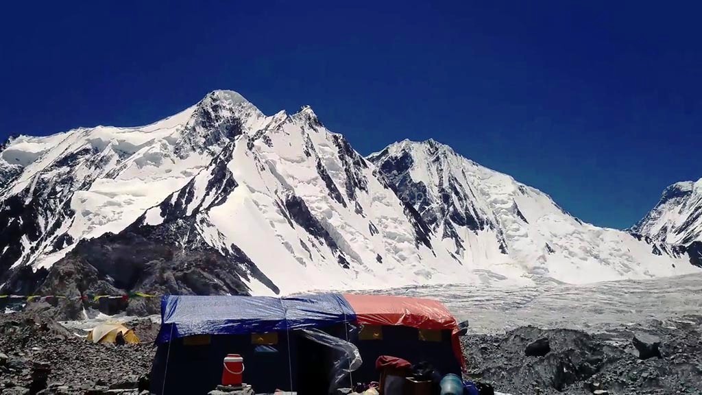
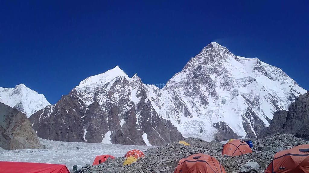
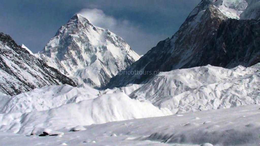
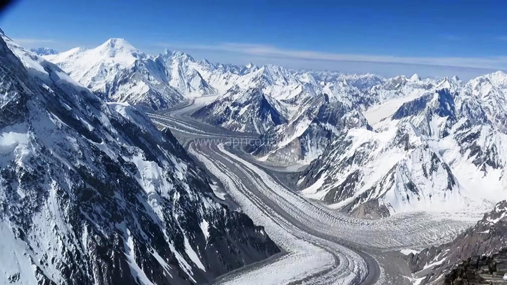
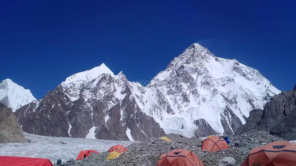
On this day of the K2 Expedition, the participants will reach Concordia after continuously walking up the moraine, on the way more and more high snowcapped peaks will appear, the culmination for the sighting of K2 will be experienced on this day. Other peaks that can be seen include Broad Peak, Mitre Peak, Gasherbrum, Sia Kangri and many more.
| Accommodation | Camping in twin-sharing dome tent (see pictures) |
| Meals | Breakfast, lunch and dinner + snacks (dry fruit/chocolate) for trek, appetizer (soup/fried-snacks) before dinner and dessert/fruits after dinner |
On this Day
GPS Data
GPS Data
Altitude: (5,155m)
Distance: 10 km
Time: 6 hours
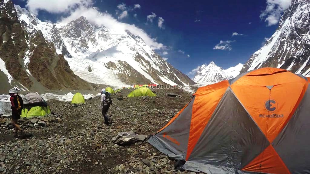
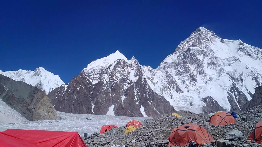
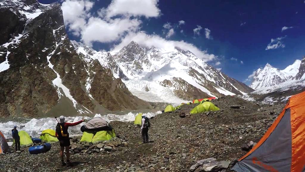
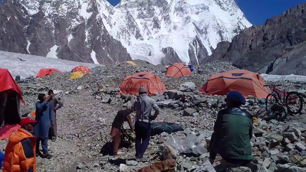
Today there is the opportunity to walk up the Godwin-Austen glacier just before the K2 Base camp. We will leave early morning, crossing the glaciers onto the faint trail heading towards K2 (there is a faint rocky trail all the way). As we follow the glacier towards K2 the mountain seems to grow bigger and bigger. Broad Peak rears up to our right and after about 3 hours we pass Broad Peak base camp. We usually have our lunch break here and as we continue carry on with K2 towering above us as we get closer and closer.
Just before base camp, amongst the boulder and ice strewn landscape is the Art Gilkey Memorial. A short scramble brings us to the place where those whose life K2 claimed are remembered. Plaques and engraved tin plates are attached to a small rocky outcrop at the foot of this great mountain. There are great views directly above us of K2. We will camp here for the night.
| Accommodation | Camping in twin-sharing dome tent (see pictures) |
| Meals | Breakfast, lunch and dinner + snacks (dry fruit/chocolate) for trek, appetizer (soup/fried-snacks) before dinner and dessert/fruits after dinner |
On this Day
GPS Data
Altitude: 5,150 m
Distance: 8.08 km
Time: 4 weeks
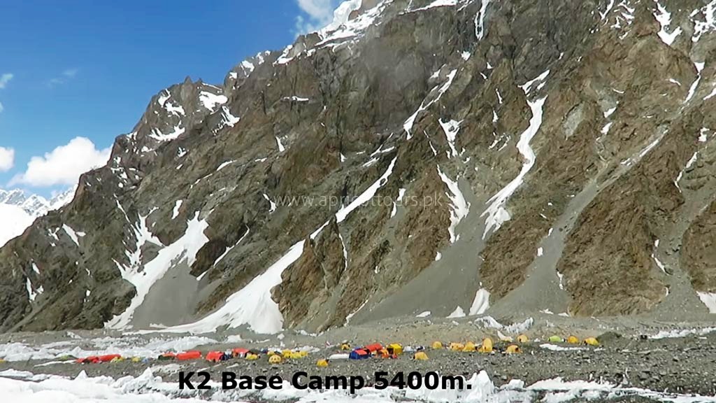
We will start our ascend to the mountain on this day and continue our climb during the four weeks duration. We will have contingency days for better weather windows. Apricot Tours Team will set up the base camp for the K2 Expedition and will continue to assist the expedition during the time frame.
| Accommodation | Camping in twin-sharing dome tent (see pictures) |
| Meals | Breakfast, lunch and dinner + snacks (dry fruit/chocolate) for trek, appetizer (soup/fried-snacks) before dinner and dessert/fruits after dinner |
On this Day
GPS Data
Altitude: 4,512 m
Distance: 11.7 km
Time: 5-7 hours
On this day, we retrace our steps back to Concordia after the successful K2 Expedition.
| Accommodation | Camping in twin-sharing dome tent (see pictures) |
| Meals | Breakfast, lunch and dinner + snacks (dry fruit/chocolate) for trek, appetizer (soup/fried-snacks) before dinner and dessert/fruits after dinner |
On this Day
GPS Data
Altitude: 4,500 m
Distance: 14.7 km
Time: 5-6 hours
The participants will set out on slightly different and less explored route. Short detours will be made to avoid crevasses and the participants should walk on rugged ice rather than slippery ice. In case of snow, the participants and the porters will walk together wearing crampons for safety hooked with rope to each other.
The base will be set in Ali camp, where the participants will reach after hiking for 5-6 hours. “Ali Camp” is name after a local porter, who was the first person to cross Gondogoro La Pass.
| Accommodation | Camping in twin-sharing dome tent (see pictures) |
| Meals | Breakfast, lunch and dinner + snacks (dry fruit/chocolate) for trek, appetizer (soup/fried-snacks) before dinner and dessert/fruits after dinner |
On this Day
GPS Data
Altitude: 5,585 m
Distance: 19.8 km
Time: 5-7 hours
On this day the participants will wake up as early as 2 am. After gearing up and having breakfast the participants roped as one uni will depart for the Gondogoro La base. Depending upon the situation our support crew will be there to fix ropes or helping the members out with the gears. It takes about 3 hours to get to the top of Gondogoro La Pass. You get to see and experience a breathtaking of all four 8000ers in the baltoro region. (K2, G1, Broad Peak, G2).
While, descending to the other side, fixed ropes will be utilized to the full extent, and use of crampons is vital for the safety of the members. The members will get the views of the beautiful and sword head shaped Laila Peak (6,096m) and one can also has the views of other trinity peaks.
The members will have to be extra careful while descending and watch out for every step they take to avoid jolting stones on their teams members. Upon descending for the slope, the trails becomes easy and the participants will move on the moraine. The camp will be set up in the junction point of Gondogoro and Trinity Glacier called Khuispang (4,600m)
| Accommodation | Camping in twin-sharing dome tent (see pictures) |
| Meals | Breakfast, lunch and dinner + snacks (dry fruit/chocolate) for trek, appetizer (soup/fried-snacks) before dinner and dessert/fruits after dinner |
On this Day
GPS Data
Altitude: 3,350 m
Distance: 20 km trek
Time: 5-7 hours trek
The participants will continue hiking down, Since the hike downwards would be a comparatively easy hike so the climbing equipment i.e. ropes, crampons will be packed while descending. The mountainous and rocky terrain will be taken over the lush green landscapes of Hushe Valley.
After lunch, the participants will continue hiking to the edge of the Gondogoro Glacier, upon reaching the edge they will find a trail which will lead them to the beautiful valley of rhubarb and grass.
At the end of the valley there are 02 different routes to the destination. Our guide with the consent of local porters will decide the trails they are being frequently used.
The trek gets easy when the two trails meet. The members will see the huts made of stones by herders and local settlers. On this day the participants will experience the sign of the settlements in the area and will be able to breathe easily due to big trees and lower altitude. Camp will be setup at Saicho (3,350m), a part of sand with little grass along the flowing glacier water steams.
| Accommodation | Camping in twin-sharing dome tent (see pictures) |
| Meals | Breakfast, lunch and dinner + snacks (dry fruit/chocolate) for trek, appetizer (soup/fried-snacks) before dinner and dessert/fruits after dinner |
On this Day
GPS Data
Altitude: 2,498 m
Distance: 20 km trek + 127 km drive
Time: 5-7 hours trek + 6 hours drive
On this day the participants have to trek down for only 3-4 hours, the river stream of glacier melted water of Charakusa, Ailling, Masherbrum and Gondogoro Glaciers. The participants will start see the signs of residences, shelter, fiels and signs of people living.
The participants will experience the 02 storey shelters of the Hushe village, where the ground floor is for cattles and the first floor is for the family to live. After setting up the camp the participants can explore the beautiful hushe valley and interact with the locals. This would be the last camping day of the Gondogoro La Trek.
Upon reaching Hushe, the participants will depart for Skardu town from Hushe and the journey offers a lot of beautiful scenes of the different small village of the Hushe Valley. The participants will cross a suspension bridge above Shyok River (which flows from Ladakh, India) to get to the other side.
In the past traditional rafts which were made of goat skin fill with air were use to cross the river. The suspension bridge which is use now to cross was built in 1990’s. Upon crossing the bridge, the participants will the reach Khaplu.
The drive from Khaplu to Skardu becomes smooth and the route to be followe is the paved road along the shayok river which leads to the confluence with Indus River. Upon driving along Indus River the Participants will reach Skardu in 4 hours. The participants can have the facilities which they did not have for 02 weeks. The first on that list would be taking a hot shower and secondly having a good meal.
| Accommodation | Twin-sharing room at Concordia Motel (see pictures), Mountain Lodge (see pictures) or equivalent standard partner hotel (depends on occupancy) in Skardu. |
| Meals | Breakfast, lunch and dinner + tea/coffee and snacks |
On this Day
GPS Data
Altitude: 2,288 m
On this day the participants will have debriefing from the Department of Tourism after the completion of the K2 Expedition.
After the debriefing the participants can rest and have a peaceful time around the valley.
| Accommodation | Twin-sharing room at Concordia Motel (see pictures), Mountain Lodge (see pictures) or equivalent standard partner hotel (depends on occupancy) in Skardu. |
| Meals | Breakfast, lunch and dinner + tea/coffee and snacks |
On this Day
GPS Data
Altitude: 538 m
On this day the participants will take a flight from the airport in Skardu to Islamabad aiport. You will have a good time to relax at the hotel in Islamabad.
The domestic flights sometime get cancelled due to weather conditions. Incase of flight cancellation, you will drive to Chilas for overnight. It takes eight to ten hours by a vehicle.
| Accommodation | Twin-sharing room at Chateau Royale (see pictures), Prestige Residence (see pictures) or equivalent standard partner hotel (depends on occupancy) in Islamabad. |
| Meals | Breakfast, lunch and dinner + tea/coffee and snacks |
This day is allocated for any potential delays in case the domestic flight does not operate the previous day. Our guests will depart early morning from Chilas to Islamabad which can take up to ten hours. However it will be a free day in case the participants make it to Islamabad on the domestic flight. This time can be utilized to sign the final paper work and sightseeing.
| Accommodation | Twin-sharing room at Chateau Royale (see pictures), Prestige Residence (see pictures) or equivalent standard partner hotel (depends on occupancy) in Islamabad. |
| Meals | Breakfast, lunch and dinner + tea/coffee and snacks |
On this Day
Meals included: Breakfast
Our staff will transfer all our guests to the airport on their respective departure timings. The checkout time of all our partner hotels is 12pm.
Why should you register very early?
1. Team building: It takes time to formulate a good team. We go through all incoming applications and formulate the best team of mountaineers (on the basis of experience). Although our vet process is not very strict, our top priority is always the safety of fellow climbers. We will not accept all applications only to maximize the number of the mountaineers.
2. Logistics: Our climbing adventures involve a lot of logistics. This includes reserving/assigning high altitude porters, guides and other staff in advance. It also involves a lot of procurement (equipment, food etc). This is not possible during the last hours. During winters expeditions, most of the supplies are transported to base camps two to three months prior to the expedition because winters in the mountains of Pakistan are very harsh and it becomes almost impossible to for porters to walk through the trail with heavy supplies.
3. Climbing Permit: Pakistani government tourism laws require tour operators to submit applications for climbing (along with all documents e.g. passport copies, photos, etc) at least 55 days prior to arrival in Pakistan.
4.Domestic Flights: We might not be able to get you on the domestic flight to Skardu if you do not pay your deposit on time. Domestic flight seats are sold very fast way ahead of time because there are only two flights to Skardu during peak season. This is a very serious concern.
CANCELLATION AND REFUND POLICIES
Cancellation Policies
By the Joint Expedition Team:
If the minimum requirement of 6 participants not be met by April 30, 2025, deposits will be refunded within 7 days, subject to the deduction of transfer fees and based on the prevailing exchange rate at the time of the refund.
By Participants/Clients:
- Deposits are non-refundable.
- Participants are advised to take out third-party travel cancellation Insurance. Personal travel insurance (Recommendation/Rescue Partners: Global Rescue)
Cancellation Charges
- Deposits are non-refundable and non-transferable.
- Cancellations made 16 to 50 days prior to departure incur a 70% loss of the total trip cost.
- Cancellations made 15 days or less before departure incur a 100% loss of the total trip cost.
Refund Requests after cancellations from the client (for balance payments)
- All refund requests must be made in writing and received within the periods stated above.
Currency
All international climbers are charged in US Dollars (USD) or equivalent in GBP or EUR.
Other Notes
- Due to the nature and heavy costs of government and operator permits, Apricot Tours must follow a precise refund policy.
- Participants that choose to leave an active expedition for any reason are not entitled to any refunds
- Apricot Tours highly recommends trip cancellation insurance for all expeditions
| SUMMARY: JOINT K2 EXPEDITION 2025 | |
| Price of Full Guided Expedition | US$ 29,900 |
| Add-on: Personal climbing Nepali Sherpa (US$ 12,944 additional) | US$ 0 |
| Add-on: Supplemental Oxygen - Brand New Cylinders | US$ 0 |
| Add-on: Supplemental Oxygen Cylinders - Used US$ 1950 | US$ 0 |
| Add-on: Oxygen Set (includes regulator, mask, hoses, carriage) | US$ 0 |
| Add-on: Single Supplement (hotels in cities/towns) | US$ 0 (free) |
| Personal equipment cargo to/from Islamabad | US$ 0 (to be billed in Pakistan - if service used) |
| TOTAL PRICE | US$ 29,900 |
| DEPOSIT | US$ 15,000 |
| Last Date for Deposit | ASAP (proof of payment required) |
| Balance Payment | US$ 14,900 |
| Last Date for Balance Payment | 01-May-2025 (50 days before arrival) |
| Minimum Participants Required (priced for) | 7 climbers |
| Cancellation Policy (cancellation by Apricot Tours) | If the minimum requirement of 6 participants not be met by April 30, 2025, deposits will be refunded within 7 days, subject to the deduction of transfer fees and based on the prevailing exchange rate at the time of the refund. |
| Cancellation/Refund Policy (cancellation by Participant/Client) | Deposits are non-refundable. Participants are advised to take out third-party travel cancellation Insurance. CANCELLATION CHARGES • Deposits are non-refundable and non-transferable. • Cancellations made 16 to 50 days prior to departure incur a 70% loss of the total trip cost. • Cancellations made 15 days or less before departure incur a 100% loss of the total trip cost. |
K2 Expedition – Royalty Fee
The royalty fee/rates assigned by the government for climbing K2 start from USD 1500. The details for each season are given in the table below.
K2 Royalty Fee/Rates – Spring, Summer, Fall & Winters
| Climbing Season | Royalty Fee (USD) per person for K2 | Government Notification |
| Spring/Summer (April - September) | USD 5,000 | View Document |
| Autumn (October - November) | USD 2,500 | |
| Winter (December - March) | USD 1,500 |
Overview – K2 Expedition
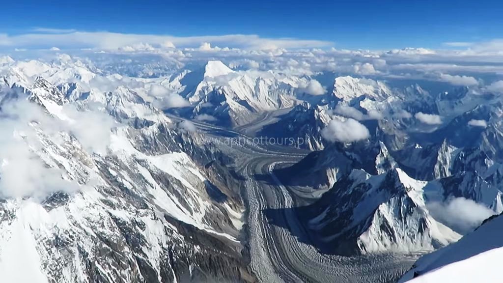
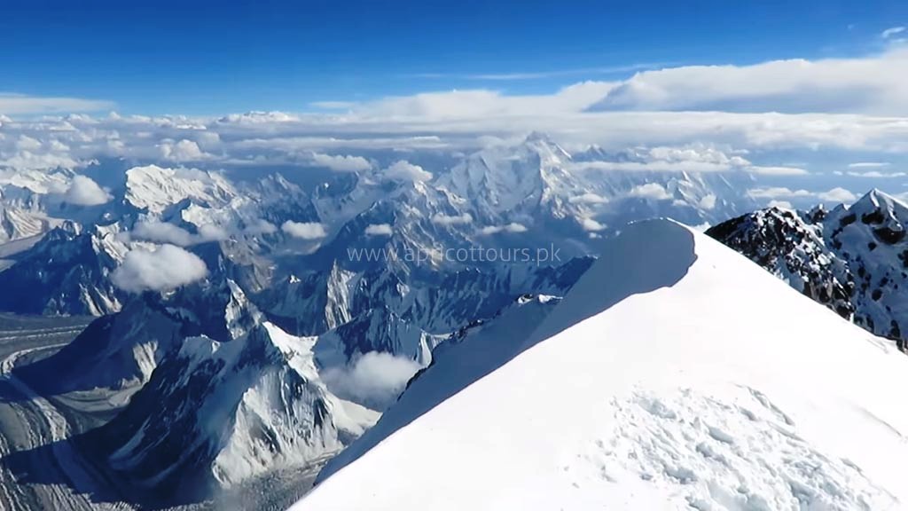
The route to K2 goes through the famous Shigar Valley and Baltoro Glacier region of Baltistan. There are several high peaks, which are situated in this world’s largest temperate zone glacier. Only the highest or more prominent ones have been named or climbed. An incredible nineteen of these peaks in the Baltoro region tower over 7,600m while four of them are 8000ers.
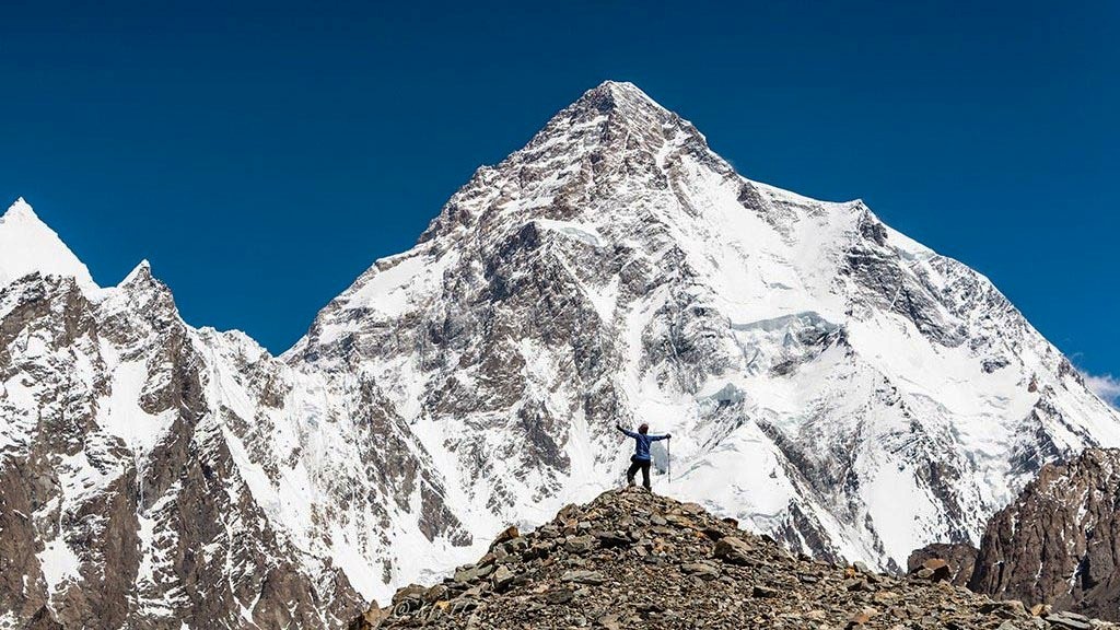
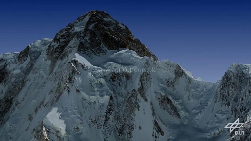
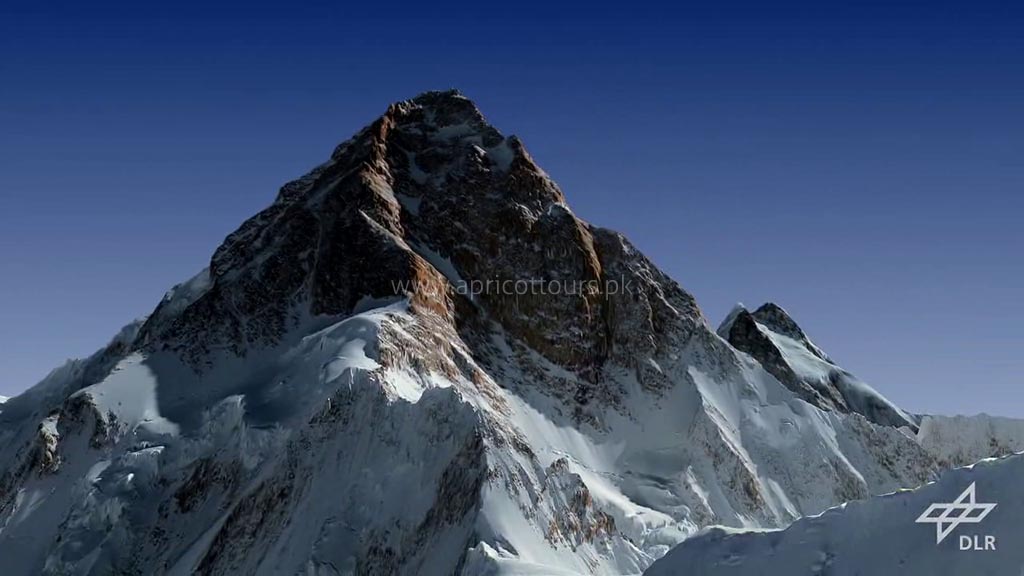
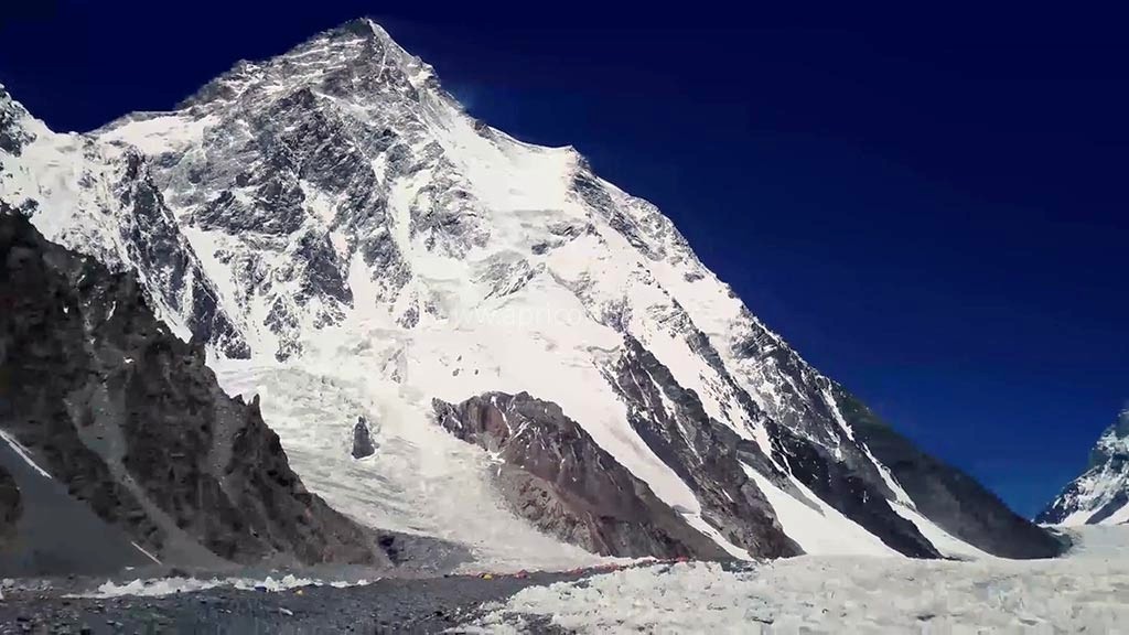
As we know K2 to be the 2nd highest mountain on the planet but the “Savage Mountain” is the king in the mountain realm. Among the 8000 peaks. It is a very strenuous and tough climb. It is 10x less climbed and highly technical compared to the Mount Everest. Only those who dare to conquer the Savage Mountain will be remembered in the books of history.
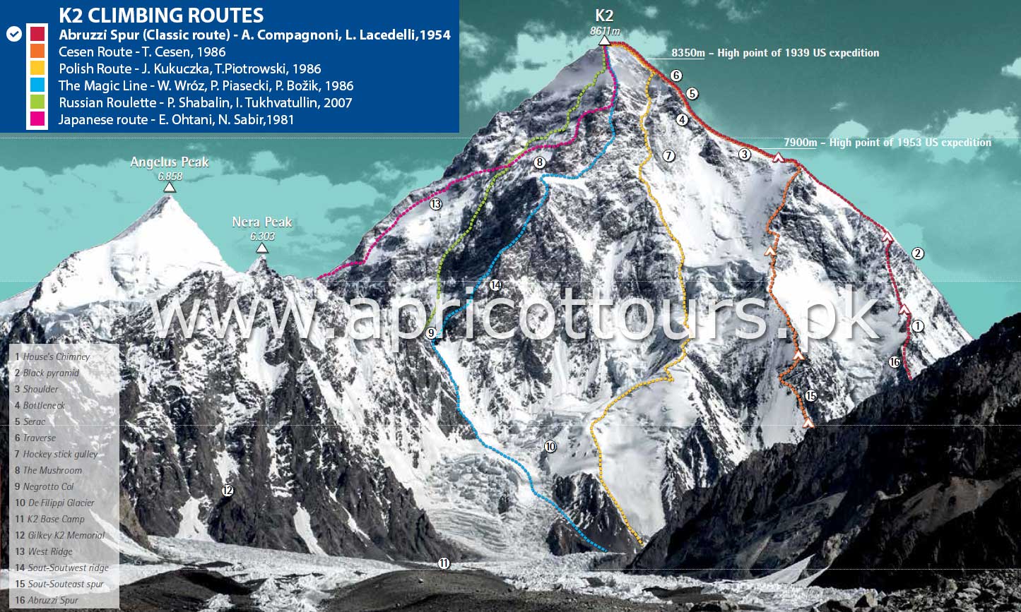
The first route ever taken for the K2 Expedition was attempted via the Abruzzi Ridge or the Standard Route. This is most used route for the K2 Expedition via the Abruzzi Spur (Southeast Ridge) although there are other routes to climb but this one is sound and has higher chances of the ascent. In 1909, K2 Expedition was first attempted by Luigi Amedeo, Duke of the Abruzzi but was its first successful K2 Expedition was completed by an Italian Team on July 31, 1954. The K2 Expedition was led by Ardito Desio and the two climbers who actually reached the top were Lino Lacedelli and Achille Compagnoni.
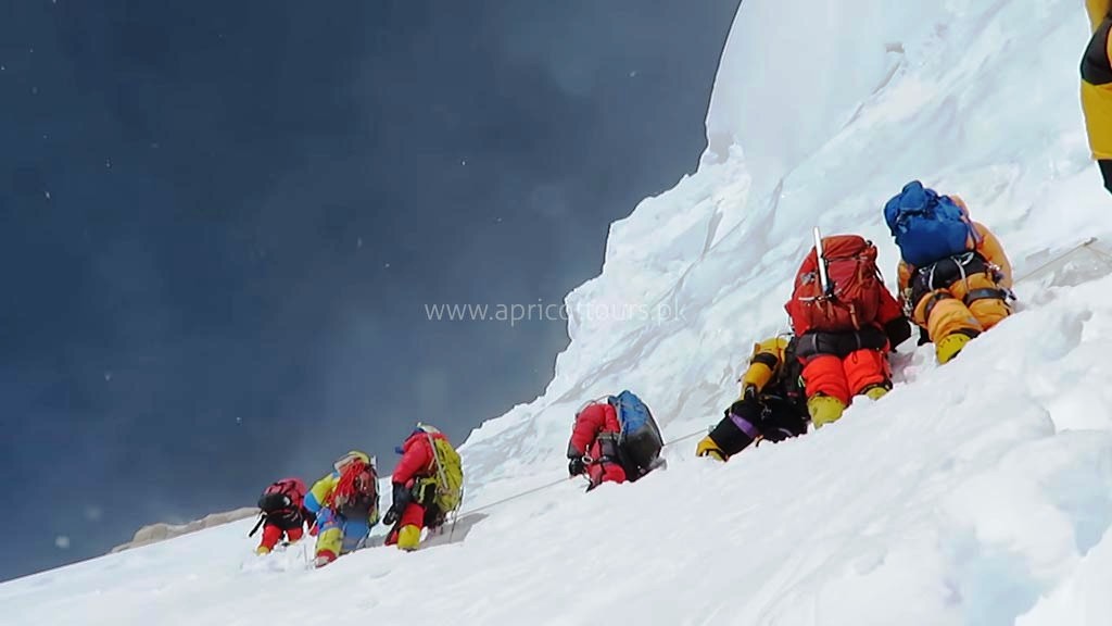
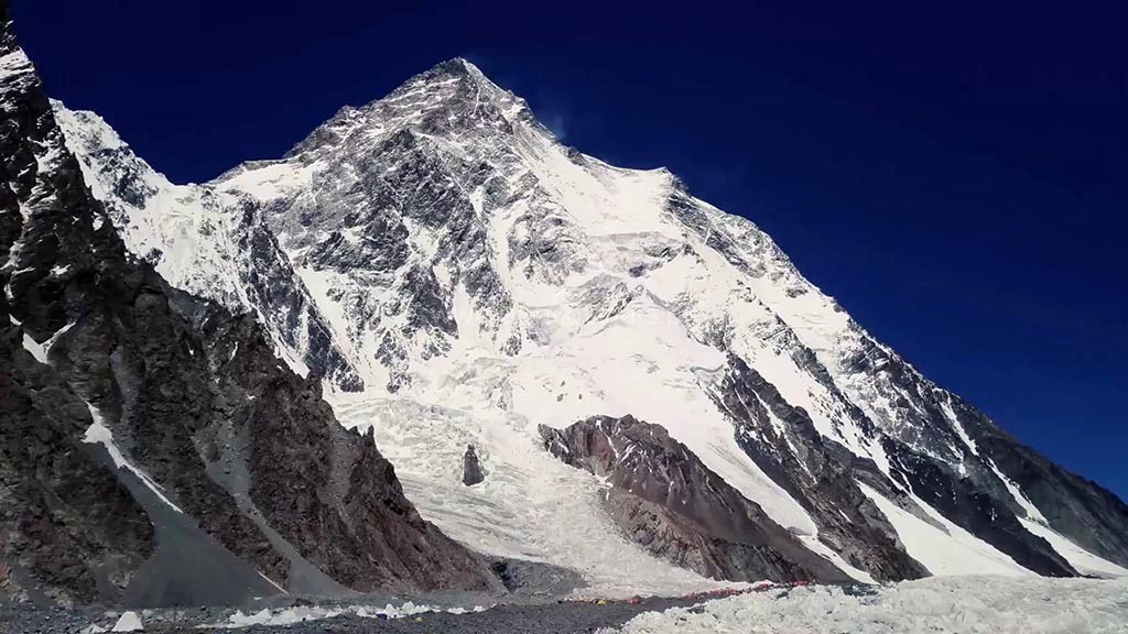
We will use the Aburuzzi Route for our ascend. This spur begins at an altitude of 5,400 m/17,700 ft, where Advanced Base Camp is usually placed. The route follows an alternating series of ice fields, rock ribs, snow slopes and some technical rock climbing on two famous features, “House’s Chimney” and the “Black Pyramid”.
Above the Black Pyramid, dangerously exposed and difficult to navigate slopes lead to the easily visible “Shoulder”. The last major obstacle is a narrow couloir known as the “Bottleneck”, which places climbers dangerously close to hanging seracs. It was partly due to the collapse of one of these seracs around 2001 that no climber’s summitted the peak in 2002 and 2003 and most of the eleven people lost their lives due to the breaking of huge ice blocks from this cliff and often on their way down.
Apart from K2 expedition, we also offer K2 trekking holidays that are given in the table below.
| K2 Treks (without Gondogoro La) | Cost (USD) | Cost (EUR) |
| K2 Base Camp Trek (21 days) - ALL INCLUSIVE | 2090 | €2,090 |
| K2 Base Camp Trek (15 days) - TREK ONLY | 1690 | €1,690 |
| K2 Circuit Treks (with Gondogoro La) | Cost (USD) | Cost (EUR) |
| K2 Gondogoro La Circuit (21 days) - ALL INCLUSIVE | 2290 | €2,290 |
| K2 Gondogoro La Circuit (15 days) - TREK ONLY | 1790 | €1,790 |
| K2 Gondogoro La & TREKKING PEAKS (24 days) - ALL INCLUSIVE | US$3,190 | €3,190 |
| K2 Gondogoro La EXTRA DAYS (24/26 days) - ALL INCLUSIVE | 2590 | €2,590 |
| K2 Base Camp & Lahore Tour (25 days) - ALL INCLUSIVE | 2990 | €2,990 |
| K2 Base Camp & Hunza Valley Tour (25 days) - ALL INCLUSIVE | 2990 | €2,990 |
| K2 Base Camp & Snow Lake Trek (36 days) - ALL INCLUSIVE | US$4,690 | €4,690 |
| K2 Base Camp via Highway (22 days) - ALL INCLUSIVE | 2890 | €2,890 |
| Four 8,000m Base Camps (24 days) - ALL INCLUSIVE | 2690 | €2,690 |
| Four 8,000m Base Camps (17 days) - TREK ONLY | 2390 | €2,390 |
| Five 8,000m Base Camps Trek - (29 days) - ALL INCLUSIVE | 3190 | €3,190 |
| Five 8,000m Base Camps Trek - (24 days) - TREK ONLY | 2690 | €2,690 |
| K2 & Nanga Parbat Base Camp Trek (26 days) - ALL INCLUSIVE | 2990 | €2,990 |
| K2 & Nanga Parbat Base Camp Trek (21 days) - TREKS ONLY | 2590 | €2,590 |
| K2 View Point Treks (Short Duration Treks) | Cost (USD) | Cost (EUR) |
| K2 Machulo La Trek - (12 Days) - ALL INCLUSIVE | 1600 | €1,600 |
| Other K2 View Point Treks - (11/12/14 Days) - ALL INCLUSIVE | 1400 | €1,400 |
Website Last Updated: October 29th, 2024
