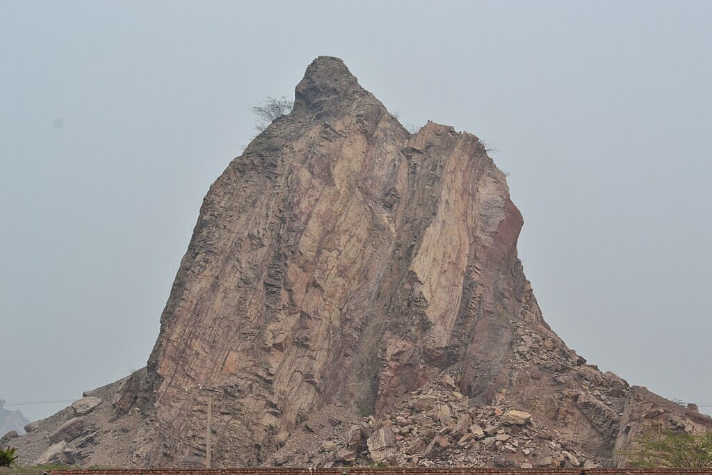
Mountain Range of Pakistan – An Overview
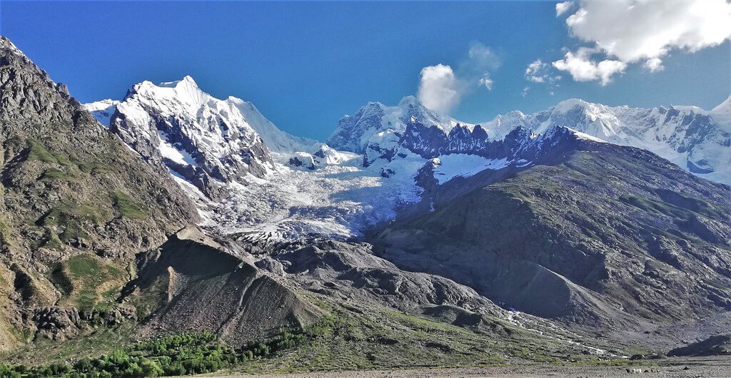
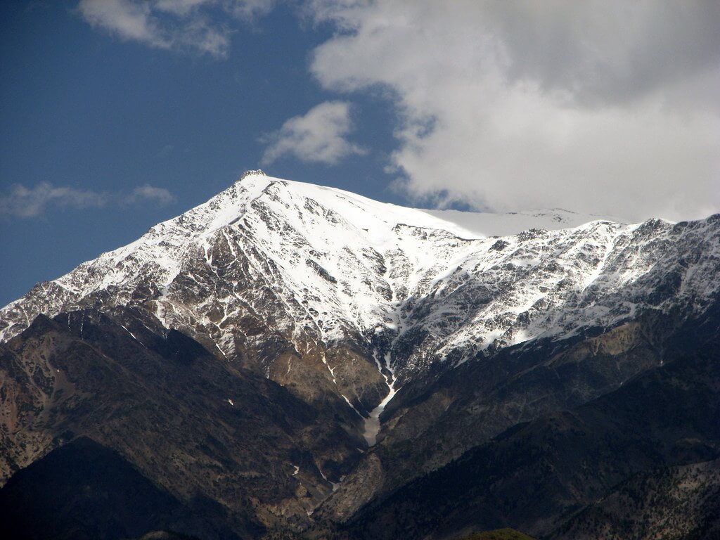
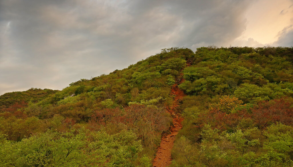
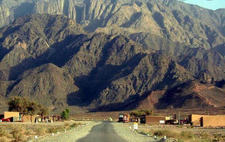
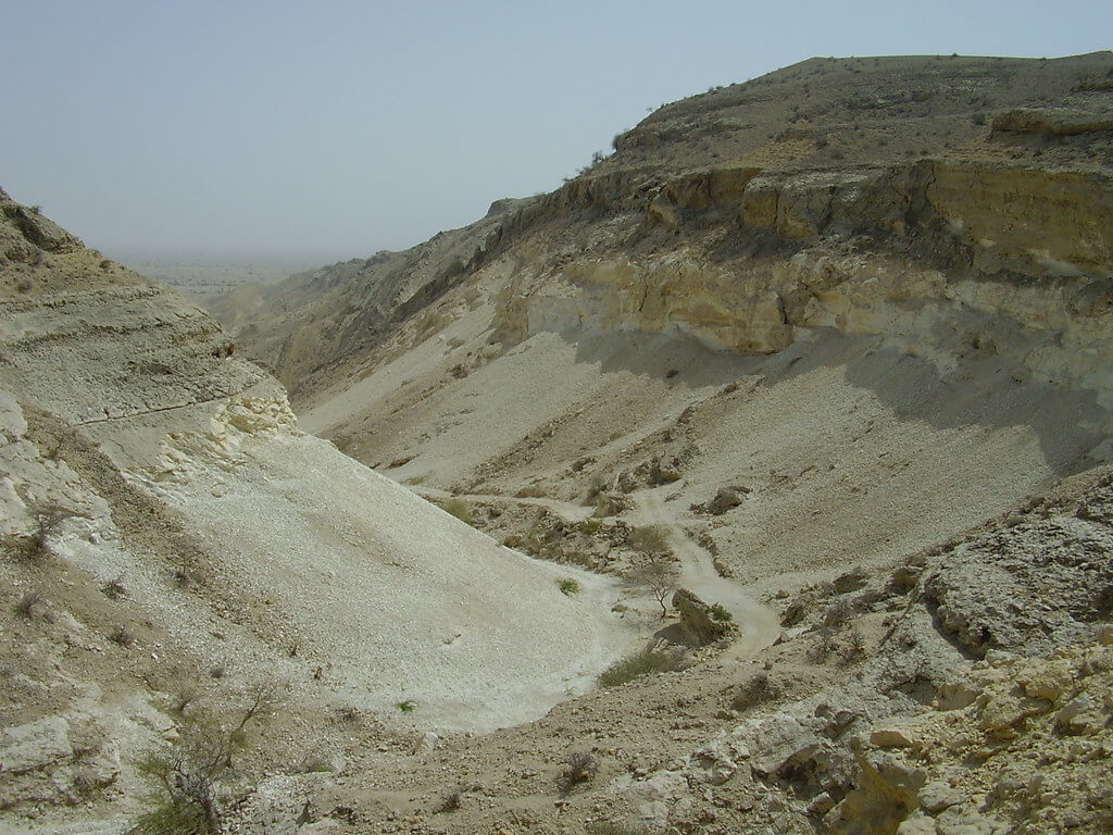
The mountain range of Pakistan: Pakistan is noted for its various landscapes, including several mountain ranges that are visually appealing and culturally and geographically significant. Look at some of the most significant mountain ranges that add to Pakistan’s geographical variety.
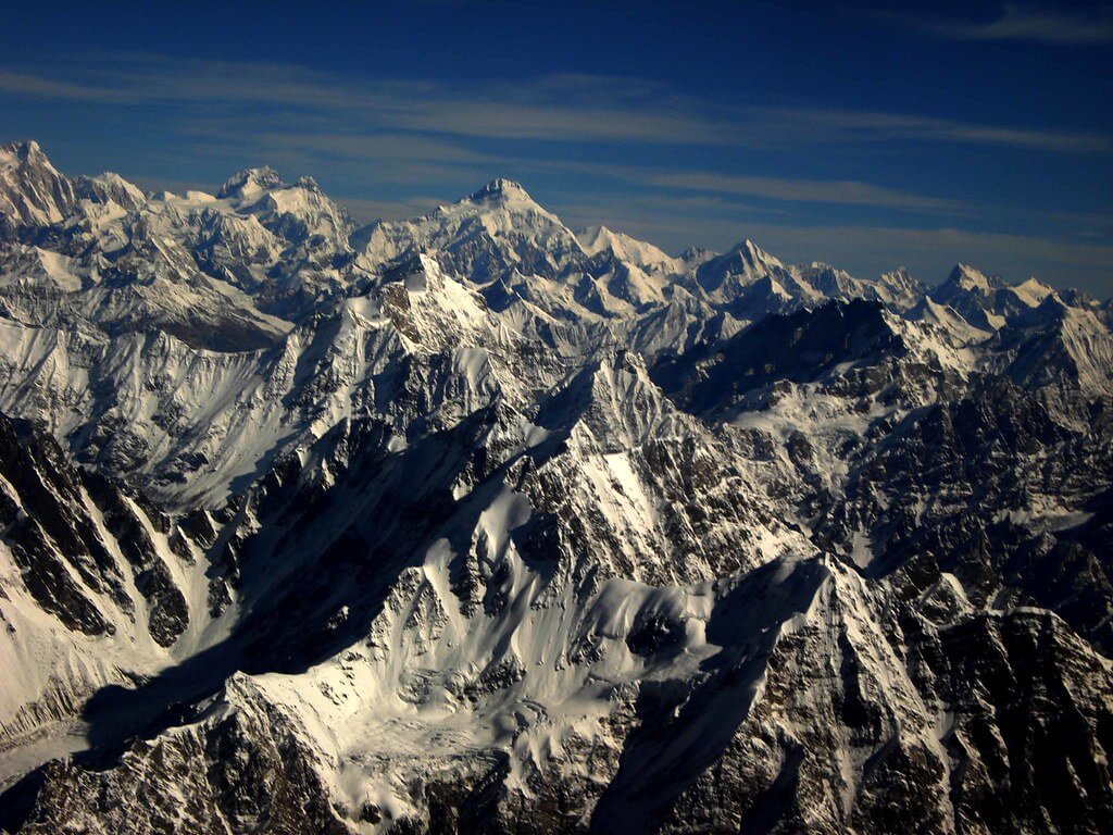
Pakistan has almost a hundred peaks that rise beyond 7,000 meters. Pakistan is home to five of the world’s 14 tallest peaks (8,600 meters to 28,000 feet). They are a popular tourist destination for geologists and climbers from all over the world. This blog will explore some of the main mountain range of Pakistan.
List of Mountain Range of Pakistan
The mountain range of Pakistan is mentioned below
| S. No | Mountain Range | Elevation (m) | Highest Peak | Location |
|---|---|---|---|---|
| 1 | Karakoram | 8,611 | K2 | China, Pakistan |
| 2 | Himalayas | 8,126 | Nanga Parbat | India, Pakistan |
| 3 | Hindu Kush | 7,690 | Tirich Mir | Afghanistan, Pakistan |
| 4 | Hindu Raj | 6,872 | Koyo Zom | Afghanistan, Pakistan |
| 5 | Spīn Ghar | 4,755 | Mount Sikaram | Pakistan, Afghanistan |
| 6 | Sulaiman Mountains | 3,487 | Takht-e-Sulaiman | Pakistan |
| 7 | Margalla Hills | 1,604 | Tilla Charouni | Pakistan |
| 8 | Salt Range | 1,522 | Sakaser | Pakistan |
| 9 | Ras Koh Range | 600 | N/A | Pakistan |
| 10 | Kirthar Range | 2,260 | Zardak Peak | Balochistan, Sindh |
| 11 | Kirana Hills | 300 | Koh-e-Kirana | Sargodha, Pakistan |
| S. No | Mountain Range | Elevation (m) | Highest Peak | Location |
Karakoram Range
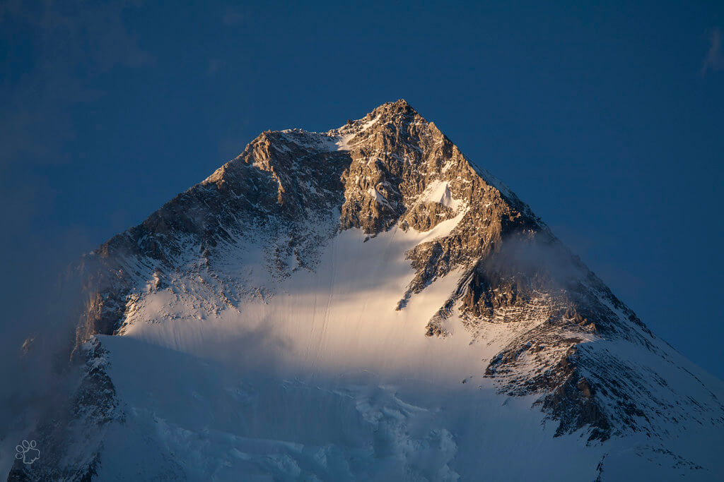
The Karakoram Mountain Range is the world’s second-largest. This mountain range is between three borders: Ladakh in India, Xinjiang in China, and Gilgit-Baltistan in Pakistan. More than fifty peaks in the Karakoram range exceed 7000 meters. K2 is Pakistan’s highest peak, located in the Karakoram range. K2 is the world’s second-highest peak and the most perilous to climb. This peak has been described as more perilous than Mount Everest.
The Karakoram Range’s northern and northeastern boundaries are the Pamir Mountains and the Tibetan Plateau boundary, respectively. The first attempt to ascend the Karakoram Range took place in 1856. Because this peak is K2, the range has five extra summits. Furthermore, the Karakoram Range is the most popular mountain range in Pakistan for mountaineers, trekkers, and adventurers in general.
Himalayas Range
The Great Himalaya Range comes in second on our list of Pakistan’s mountain ranges. The Himalayan Mountain Range is more than 2400 kilometers long, making it the world’s longest mountain range.
The Himalayan Mountain Range is also known as the “Western Mountain Range” since it spans five countries: Pakistan, India, China, Nepal, and Bhutan. The western portion of the range is located in Pakistan’s Gilgit-Baltistan, in the Astore District.
It is one of the major mountain range of Pakistan, and its most renowned and huge peak is “Nanga Parbat,” commonly known as the ‘Killer Mountain,’ which reaches 8,126 meters above sea level and is the world’s ninth tallest peak.
The Himalayas are a huge lure for climbers in Gilgit-Baltistan, one of Pakistan’s most popular tourist destinations. The famous Deosai National Park is located nearby. It is a steep meadow of extraordinary elegance and ecological significance, surrounded by undulating hills. Overnight camping, hunting, and trekking are best done during the summer months.
Furthermore, Mount Everest, the world’s tallest mountain, is situated in the Himalayas between Nepal and China.
Hindu Kush Range
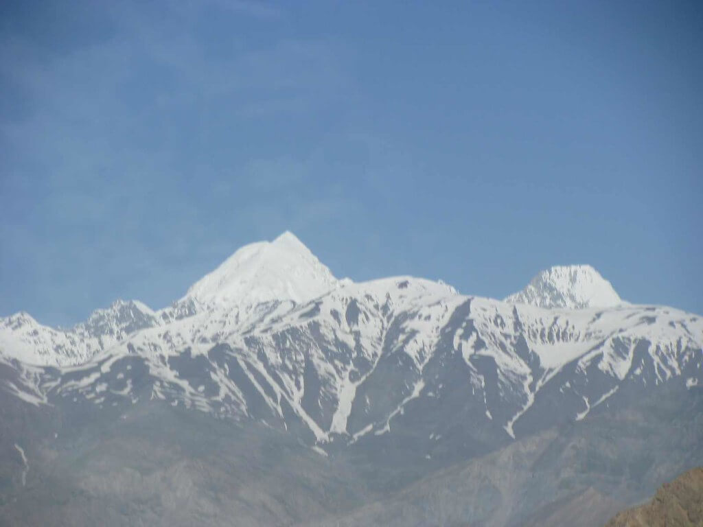
The Hindu Kush Mountain was established in 1830. In 1950, the Norwegian team, which included Pakistani climbers, completed the first ascent. This mountain range extends northwest of the Pamirs and is located in Pakistan’s northwest. The Hindu Kush range stretches above 950 meters between Pakistan and Afghanistan. Tirich Mir is a peak in Chitral that is 7,690 meters high.
Noshaq, located on the Pakistan-Afghanistan border, is the second-highest peak, reaching 7492 meters. There are several additional mountain ranges in the Hindu Kush mountains of Kohistan and Swat, Pakistan. Summer is the best time to see the breathtaking Hindu Kush Mountains. The Hindu Kush mountains are one of Pakistan’s major mountain ranges.
Hindu Raj Range
“The Hindu Raj Mountains Range” is another well-known and significant mountain range in Pakistan, located on the country’s northern border between the Hindu Kush and Karakoram ranges.
Its name, “Hindu Raj,” means “Hindu’s Rule,” and it covers around 500 miles/800 kilometers in length and 150 miles/240 kilometers in width.
Koyo Zom, at little more than 6872 meters, is the highest peak in the Hindu Raj Range, with Gul Lasht Zom, Ghamubar Zom, and Buni Zom being some of the other prominent peaks.
The lack of notable peaks above 7000 meters in height is a major factor for the Hindu Raj Mountain Range’s lack of appeal among tourists; yet, it is a magnificent range with spectacular vistas.
Safed Koh Range
The Safed Koh Mountain Range is sometimes called the White Mountain Range. It is located on the border between Pakistan and Afghanistan. The Sikaram range is home to the mountain’s highest summit. The range sits at a height of 4,761 meters (15,620 ft). Climbers and hikers like visiting the world’s highest Polo grounds. It is also quite near to the Khyber Pass and Shandur Top. Every year, the Shandur Polo Festival draws a large crowd of eager spectators. Numerous hikers and mountaineers attend the Shandur Polo Festival.
Sulaiman Mountain Range
The Sulaiman mountain range is located in northern Balochistan and connects a chunk of its land to Afghanistan. In addition to being located in northern Baluchistan, the Suleiman Mountain Range connects a section of its land to Afghanistan. Furthermore, it forms the border between the Subcontinent and the Iranian Plains.
Takht-e-Suleiman is the Range’s highest mountain, rising to 3,487 meters of sea depth. The second highest peak is Khilafat Hill, which stands at 3,475 meters and is located in Ziarat District.
It is the country’s fourth most important and largest mountain range. In contrast to the Northern Peaks, these mountains are less craggy and have a medium height, giving them a unique peak in terms of character.
In terms of its name, Pashtun legends claim that prophet Suleiman went across this range, which is why it is known as the “Sulaiman mountain range,” yet in another mythology, the Takht-e-Sulaiman is where Noah’s Ark came to rest after landing. In another story, the Takht-e-Sulaiman is where Noah’s Ark rested after making a landing.
Another legend holds that the grave of Qais Abdur Rashid, the famous ancestor of the Pashtuns, is located on top of Takht-e-Sulaiman.
Margalla Hills
Margalla Hills is located near Islamabad, Pakistan’s famed northern mountain range. Tilla Charouni, at 1,604 meters (5,262 feet), is the highest mountain in this range. Similarly, while you are in this range, you may view the best of both snow-covered peaks and the area’s greenery. One of the nicest things about Margalla Hills is that its mountains are one of Pakistan’s most popular picnic places. As a result, guests may enjoy both a picnic and a panoramic view when visiting Margalla Hills.
Salt Range
The Salt Range, as the name implies, is easily recognized for what it is famous for. The salt output in this range is quite high. The Salt Range is the world’s richest salt field owing to the abundance of rock salt deposits in this region! The Salt Range is a hill station in Pakistan. This range is located in Pakistan’s Punjab province.
From east to west, the salt range stretches 186 miles (300 kilometers). In the middle and east, the breadth varies from 5 to 19 miles. The salt range’s highest peak is Sakesar Mountain, which stands at 4,992 feet (1,522 meters). This area is home to several large salt mines, notably Khewra, Kalabagh, and Warcha. In addition, this mountain range has medium-quality coal, gypsum, and other minerals.
Ras Koh Range
Ras Koh Mountain represents the entrance and mountain, respectively, in the Balochi language. This mountain range is in the heart of Pakistan’s Balochistan region. Pakistan’s first nuclear test took place near Ras Koh in 1998. It is located between the lower Kirthar Mountains’ southwest and the Sulaiman Mountains’ northern side. The Ras Koh hills are around 600 meters above sea level, although in certain locations they reach 3,000 meters.
Kirthar Range
The Kirthar Range acts as the boundary between the country’s two provinces, Sindh and Balochistan. Kirthar’s broad spectrum extends for about 300 kilometers from the Mula River.
The Kirthar Mountains reach an elevation of 2,151 meters/7,057 feet at its earliest known site, with the Gorakh Hills reaching 5,688 meters/7,057 feet as their tallest peak. The Gorakh Hills are referred to as the “Murree of Sindh” by Sindh residents who live nearby.
This range covers an area of roughly 9,000 square kilometers. There are several additional crossings in the Kirthar Range, but the Gaji Lak Pass, which connects Zidi and Khuzdar to Jhalawan, is the most commonly used.
This mountain area is also said to have Taung Tombs dating from the 16th to 18th century.
Kirana Hills
Kirana Hills is located in the middle of Sargodha, Pakistan. This mountain range is modest and remote, and it has consistently shown to be the ideal area for travelers to visit and explore. The range is also known as Black Mountain and Koh-e-Kirana.
The highest mountain is 980 feet (300 meters) tall. Pakistan conducted another nuclear test in Kirana Hills, Sargodha, in 1983. Since then, over 24 similar experiments have been conducted in this range. Depending on the season, weather conditions might deteriorate or improve. In summer, it may get fairly hot, but in winter, the region drops below freezing.
Conclusion
The mountain ranges of Pakistan provide a diversified and spectacular scenery that is unparalleled in beauty and majesty. Whether you choose adventure or nature, Pakistan’s mountains offer something for everyone. So, pack your luggage and start on a memorable tour through the mountain range of Pakistan.


